THROUGH THE CAVALO DO SORRAIA RESERVE
Distance: 10.2 km;
Duration: 3h
Degree of Difficulty: Very Easy
Trail departure point: Cavalo do Sorraia Reserve
Coordinates: 39.242092, -8.575890
Beginning at the Reserve, the trail passes through farmland and vineyards until reaching Vala Real de Alpiarça, also passing through the Carril green park and the Casa dos Patudos, returning to the initial point via the Patudos leisure complex.
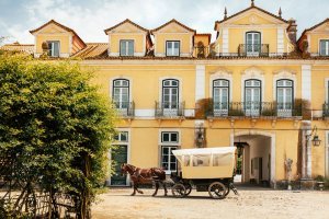
There is restaurant service and easy parking. The trail starts by following the tree-lined avenue in the direction opposite to the entrance to the Reserve.
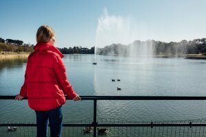
After about 300 metres you will find a gate that you should always close once you pass through. Follow the dirt road for a few metres until you see a narrow path to your right surrounded by vegetation, which leads to the Patudos reservoir. Here, go left and stay on the path along the bank.
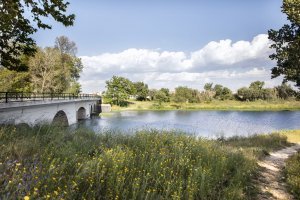
At the reservoir, among many other species of birds, you will commonly find the moorhen (Gallinula chloropus). After crossing the wooden bridge, go straight ahead and then turn right, go past the entire wall of the dam and then turn left on to the national road. Keep to the left side of the road and cross safely using the pedestrian crossing. Ahead you will see a dense reed bed located on the banks of the Vala Real de Alpiarça Canal. Follow along the right side of the drainage canal you see in front of you and when you reach the reed bed turn right. Some 150 metres ahead, cross the bridge to the other side and turn right.
This section follows the Vala Real de Alpiarça, a waterline measuring 65 kilometres that starts east of Aranhas de Cima and flows into the Tagus River on its left bank.
Keep going along the bank for about 1,300 metres until reaching the bridge over the asphalt road that connects Alpiarça to Santarém. Carefully cross the road and go straight ahead on the asphalt road.
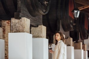
Some 100 metres ahead, turn right on to the dirt road that passes through the vineyard and when you reach the waterline turn left. The history of vineyards and wine in Ribatejo dates back to before Portugal existed as a nation, the Romans having been mainly responsible for introducing this culture to the region. This region of extensive plains next to the Tagus River is periodically flooded and this contributes to the fertility of these silty soils that are excellent for wine.
The white wines are very diverse with a palette of aromas ranging from the fresh and aromatic Arinto to the floral Fernão Pires, while the red wines are historically associated with the various national varieties and most recently with the combination of these varieties with international varieties.
In this riverside region we can watch the colourful bee-eater (Merops apiaster), the most exotic bird that visits during the spring and summer and which usually nests here. Keep going along the path alongside the bank for some 1,200 metres until you reach a dirt road.Turn right, cross the bridge and then turn right again, along the path that follows the opposite bank from where you came.
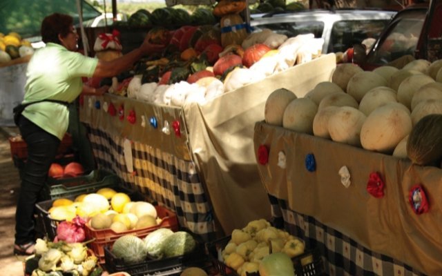
After some 600 metres, cross the small bridge over the drainage canal and keep going straight ahead along the bank until you find the fruit market and Carril picnic park. Take advantage of the shade and freshness of the dense woods to take a break. Keep going along the bank of the waterway and pass under the bridge’s arch, continuing straight ahead along Vala Real for some 900 metres; once you see the prominent Casa dos Patudos, turn left along the road that follows the vineyard, then turn right and continue for some 400 metres along the road that runs adjacent to the buildings, until you reach the national road that crosses Alpiarça.
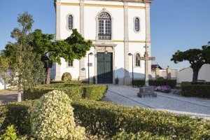
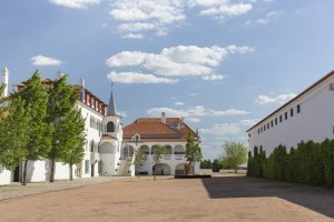
Casa dos Patudos is a must see, whether you choose to do so before or after your walk. This notable architectural complex designed in 1904 is in the revivalist and nationalistic style of the time, evoking various styles of the past and of popular architecture, using Portuguese production techniques for the ceramic tiles, ironworks and furniture. Inside, you will find a significant legacy of national culture waiting for you.
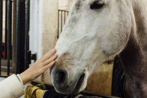
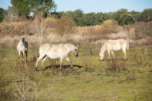
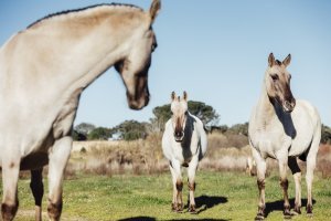
Cross the national road and turn right towards the reservoir. Along the dam wall, now follow along the left side, covering the opposite bank from where you started. You can opt for the dirt track alongside the water or, if you prefer, take the cobblestone walkway and enjoy the shady avenue lined with plane trees, continuing for some 900 metres until you come across a dirt road on your right. Turn here and a few metres farther on take the first right and continue along the cork oak grove until the waterway bank. The road continues for about another 300 metres and once you reach the main road turn right and keep a look out for the gate on the fence on your left side to find the access to the Reserva do Cavalo (Horse Reserve). For everyone’s safety, always close the gate. This last kilometre takes you along an ensconced valley with considerable biodiversity and the silence is broken by the singing birds and croaking frogs. You will often see horses in a fencedin meadow at the top. Once you see the entrance to the Reserve keep going straight ahead and you are at the starting point.
